Grumets
Mètodes i aplicacions en teledetecció i sistemes d'informació geogràfica
Grup de recerca consolidat per la Generalitat de Catalunya format per equip altament motivat i productiu, d'aproximadament 25 investigadors i tècnics multidisciplinaris. El grup desenvolupa nous algoritmes, teoria, metodologies i aplicacions que permetin avançar en la recerca geogràfica i ambiental bàsica i aplicada des d'aquestes disciplines.
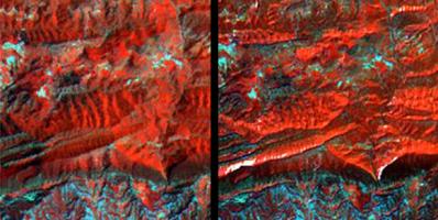
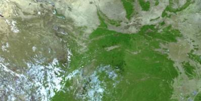
El grup té una àmplia experiència en el processament d'imatges provinents de sensors remots de baixa, mitjana i alta resolució, incloent plataformes aeroportades, i disposa d'una antena terrestre per rebre imatges Meteosat cada 15 minuts. La integració dels camps de la ciència de la informació geogràfica, els geoserveis, l'estandardització, les metadades, el treball aplicat i el desenvolupament de programari són també objectius del grup.
GRUMETS és un equip altament motivat i productiu, format per aproximadament 20 investigadors i tècnics multidisciplinaris, provinents d’una rica diversitat de formacions (geògrafs, biòlegs, ambientòlegs, físics, matemàtics, geodesistes, científics de la computació, etc.). El grup és considerat per la Generalitat de Catalunya com a grup de recerca consolidat, de qualitat i finançat des de 2009 (SGR 2017 núm. 1690, SGR 2014 núm. 1491 i SGR 2009 núm. 1511).
Els membres del grup han liderat o participat en gairebé 100 projectes (internacionals –principalment de la CE, l'AECID i la ESA-, nacionals o locals, així com en col·laboració amb organitzacions privades) i han publicat el seu treball en les principals revistes internacionals i actes de congressos.
Aquestes són les principals línies de recerca del grup:
- Correccions geomètriques i radiomètriques d'imatges de satèl·lit (espectre solar i tèrmic).
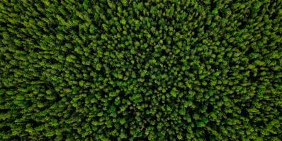
- Recerca en tècniques de classificació i anàlisis quantitatives per cartografia de boscos i conreus mitjançant imatges de mitjana resolució, sensors hiperspectrals i lidar. Inclou la caracterització d'estrès hídric de diverses espècies vegetals.
- Compressió d'imatges amb pèrdua i anàlisi dels seus efectes en productes de teledetecció (classificació, fotointerpretació, modelització...).
- Processament avançat d'imatges, incloent-hi computació paral·lelitzada i processament massiu.
- Altres estudis teòrics i metodològics en teledetecció.
- Desenvolupament de metodologies per a l'anàlisi de les característiques i efectes dels incendis forestals.
- Anàlisi espacial i interpolació, principalment aplicades a la modelització climàtica (per exemple, la publicació del Primer Atles Climàtic Digital de la península Ibèrica a Internet, visitat per milers de persones).
- Modelització de fluxos d'energia: evapotranspiració real, radiació neta, radiació solar, etc.
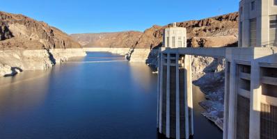
- Estudis del cicle de l'aigua.
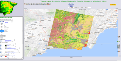
- Mapes de cobertes del sòl, dinàmica i ecologia del paisatge, incloent-hi canvi global.
- Altres estudis teòrics i metodològics en Sistemes d'Informació Geogràfica.
- Metadades: Aspectes teòrics i pràctics: Desenvolupament d'un complet gestor de metadades (GeMM) amb funcionament semiautomàtic integrat amb les dades i els processos, suport multiidiomàtic, etc, i contribució als estàndards internacionals.
- Cartografia a Internet i geoserveis distribuïts: implementació i contribució als estàndards internacionals.
Estudis aplicats en SIG i Teledetecció. - Didàctica en Ciències de la Informació Geogràfica.
- Desenvolupament de programari.


