15/07/2026 News

A new CREAF tool provides real-time vegetation moisture data across Spain to improve wildfire prevention

Gavarres_ACN
Media Relations Manager

Ángela Justamante

Biologist and scientific communicator, currently she is the press officer at CREAF. She also has experience in European projects and scientific outreach.

Every summer, the same question comes up: why do some forests burn far more intensely than others? Temperature, topography, wind, and rainfall are often cited, and these factors undoubtedly play a role. Now, a study published in New Phytologist and led by CREAF explores how to incorporate vegetation moisture into wildfire risk models to improve fire prevention and management. This indicator is already calculated in ForestDrought, a platform developed by CREAF’s Ecosystem Modelling Facility (EMF), which updates the water status of forests across the Iberian Peninsula and the Balearic Islands on a daily basis. Among other indicators, the tool displays soil water content and live vegetation moisture.

The map of Spain over recent months shows how the abundant winter and spring rainfall allowed forests to enter early June with healthy water reserves. However, the heatwaves of recent weeks are changing this situation. As temperatures rise, vegetation transpires more, soil water reserves decline, and trees and shrubs begin to lose water and dry out.

Miquel de Cáceres

To assess whether an area may face a higher wildfire risk, we look at vegetation moisture. When plants have a moisture content below 100%, it is usually an indication of drought stress. If it falls below 80%, we need to be on alert, as it means the vegetation is very dry and can ignite much more easily.

Miquel de Cáceres, CSIC researcher at CREAF

For example, in recent weeks, ForestDrought simulations have shown greater dryness—meaning vegetation moisture below 100%, and in some areas approaching 80%—in Extremadura, western Andalusia (Córdoba, Seville, Cádiz, and Huelva), and Castilla–La Mancha (Ciudad Real and Toledo). In Catalonia, the driest areas are concentrated in Vallès Oriental, Vallès Occidental, Maresme, and the inland counties of Girona, including La Selva, Gironès, and Garrotxa.

Girl in a jacket

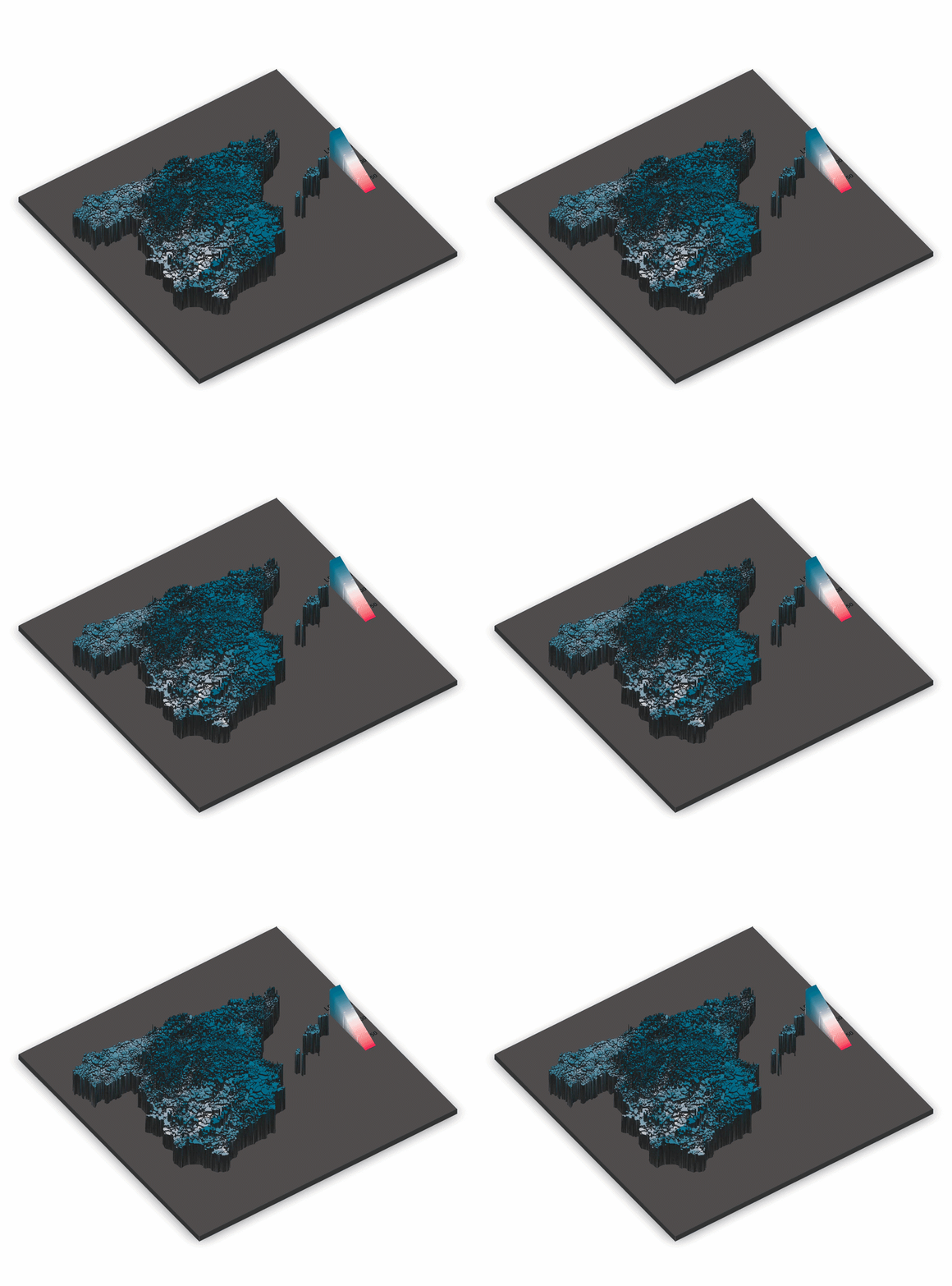
Moisture content of live fuel (%). As the LFMC decreases, the ease with which vegetation can burn increases. Source: ForestDrought.

"We want this tool to help anticipate more reliably when and where living vegetation reaches critical conditions that may increase wildfire risk. The platform allows users to track the daily evolution of forest drought over the past 365 days, and one of its greatest strengths is that no modelling expertise is required—anyone can use it and access the maps," explains Víctor Granda, data scientist at the EMF.

To generate these maps, ForestDrought integrates meteorological data from Spain's State Meteorological Agency (AEMET), the Meteorological Service of Catalonia (SMC), MeteoGalicia, and the Andalusian Agroclimatic Information Network (RIA), together with information on soils, topography, and forest structure from the Spanish National Forest Inventory, the Spanish Forest Map, and LiDAR data.
 

Victor Granda

ForestDrought also allows users to visualize other wildfire-elated indicators, such as the potential for fire to spread through the tree canopy, the likelihood of low vegetation such as shrubs igniting, and the moisture content of dead vegetation, among others
 

Víctor Granda, data scientist at CREAF

Living vegetation: a factor to consider

According to the research team and the study's findings, current drought indices are based primarily on meteorological conditions and accurately predict moisture variations in dead vegetation, such as leaf litter, branches, and logs. However, they are much less effective at capturing changes in the moisture content of living vegetation, which also plays a major role in determining how a wildfire spreads.

Rodrigo Balaguer CREAF

Living trees and shrubs have several physiological mechanisms that allow them to regulate water loss. However, when faced with a lack of water, each type of plant responds differently: some species dry out more and others conserve moisture better.

Rodrigo Balaguer, CREAF researcher

"ForestDrought is an innovative tool because it takes into account the characteristics of living vegetation, including plant functional type and species. As a result, it produces more accurate predictions," explains Rodrigo Balaguer, CREAF researcher and lead author of the study.

For example, trees such as pines and holm oaks have deeper root systems that allow them to access water stored in deeper soil layers. In addition, when they experience water stress, they close their stomata—tiny pores that enable gas exchange but also allow water to escape. "These adaptations help them maintain more stable moisture levels during dry periods," the researcher continues. By contrast, many understory shrubs, such as rosemary and rockrose, have shallower roots and depend on water stored in the uppermost soil layers, causing them to dry out much more rapidly when rainfall stops.

"Overall, these differences help explain why two forest stands exposed to the same weather conditions may face very different wildfire risks," adds Miquel de Cáceres.

The future of fire prediction models

The study also identifies the main challenges that must be addressed to make forest water-status tools such as ForestDrought even more accurate. These include incorporating more detailed information on soil characteristics, such as rock content and soil depth; improving knowledge of the physiology of individual species; representing water movement within forests more accurately; and enhancing satellite observations, which can provide up-to-date information on vegetation condition, including height, biomass, and leaf area.

ForestDrought_Catalunya_LMFC

Moisture content of the living fuel (%). As it decreases, the ease with which the vegetation can burn increases. The range usually varies between 150% and 80% in trees, and up to 60% in shrubs. If the value is less than 100%, it is usually indicative of drought stress, and if it reaches less than 80%, you need to be alert, because it means that the vegetation is very dry and can ignite more easily. Source: ForestDrought.

ForestDrought_DFMC (Dead Fuel Moisture Content)

Dead fuel moisture content (%). Measures the moisture content of dead vegetation. Source: ForestDrought.

ForestDrought_REW

Relative extractable water (%). Indicates the amount of water available in the soil for vegetation. Used to help calculate other fire-related indices. Source: ForestDrought.

CFP (Crown Fire Potential)_ForestDrought

Potential for fire to spread through treetops. Source: ForestDrought.

spf_Font Forestdrought

Potential for low vegetation, such as scrub, to ignite. Source: ForestDrought.

"What is clear is that knowing the state of humidity of the vegetation, combined with the rest of the indices, would allow us to develop much more precise fire risk maps and provide complementary information to firefighters and administrations responsible for fire prevention," agree the three researchers.

  • Reference article : Balaguer-Romano, R., Sañé, A., Martin-StPaul, N., Ruffault, J., Gabriel, E., Castro, X., Pimont, F., Liu, X., Druel, A., Delzon, S. and De Cáceres, M. (2026), Key sources of uncertainty in process-based modeling of live fuel moisture content. New Phytol. https://doi.org/10.1111/nph.71286